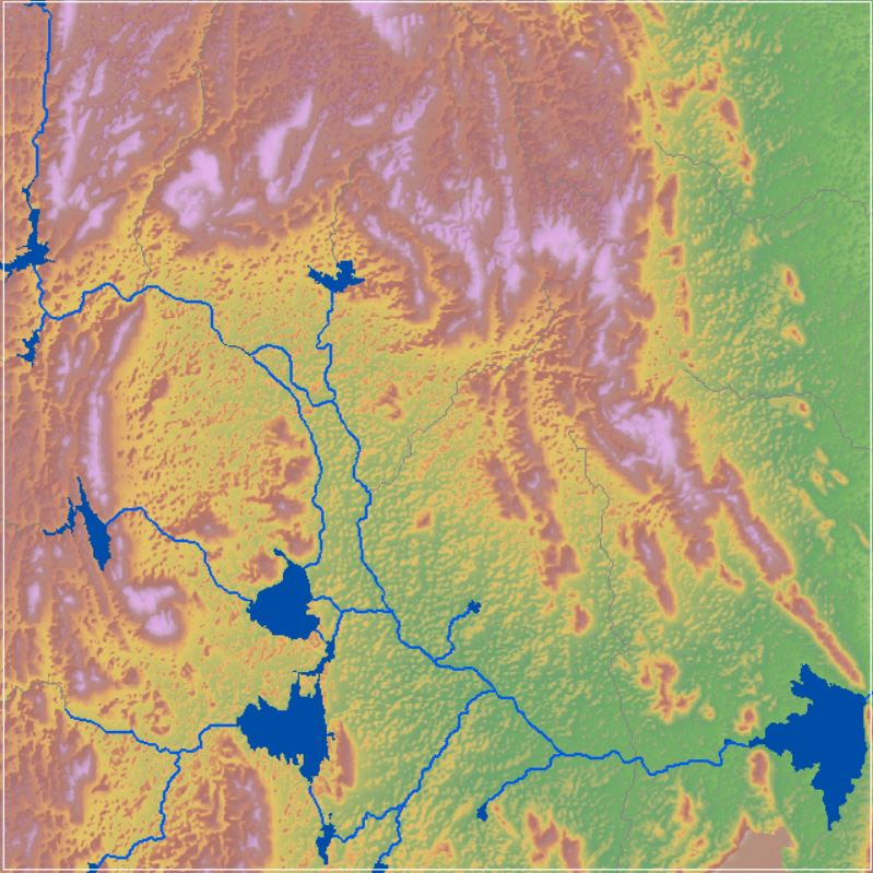
Landsat-9 OLI-2 Satellite Imagery. 2021
Landsat 9 is a partnership between the U.S. Geological Survey (USGS) and the National Aeronautics and Space Administration (NASA) and continues the Landsat program’s critical role of repeat global observations for monitoring, understanding, and managing Earth’s natural resources. Landsat 9, launched on September 27, 2021, at 1:12PM CST from Vandenberg Air Force Base, California, onboard a United Launch Alliance Atlas V 401 rocket. Landsat 9 carries the Operational Land Imager 2 (OLI–2), built by Ball Aerospace & Technologies Corporation, Boulder, Colorado, and the Thermal Infrared Sensor 2 (TIRS–2), built at the NASA Goddard Space Flight Center, Greenbelt, Maryland. Northrop Grumman designed and fabricated the spacecraft and integrated the two instruments. OLI-2 contains below stated spectral bands:

Nine spectral bands:
• Band 1 Visible (0.43 - 0.45 µm) 30-m
• Band 2 Visible (0.450 - 0.51 µm) 30-m
• Band 3 Visible (0.53 - 0.59 µm) 30-m
• Band 4 Red (0.64 - 0.67 µm) 30-m
• Band 5 Near-Infrared (0.85 - 0.88 µm) 30-m
• Band 6 SWIR 1(1.57 - 1.65 µm) 30-m
• Band 7 SWIR 2 (2.11 - 2.29 µm) 30-m
• Band 8 Panchromatic (PAN) (0.50 - 0.68 µm) 15-m
• Band 9 Cirrus (1.36 - 1.38 µm) 30-m
Two spectral bands:
• Band 10 TIRS 1 (10.6 - 11.19 µm) 100-m
• Band 11 TIRS 2 (11.5 - 12.51 µm) 100-m
Dataset
(1) Land use land Cover 2021Source: U.S. Geological Survey (USGS), EarthExplorer. https://earthexplorer.usgs.gov/
Related images
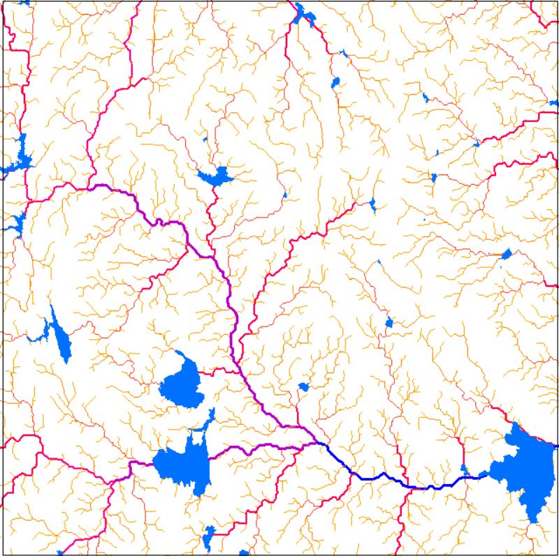
Drainage Network
View more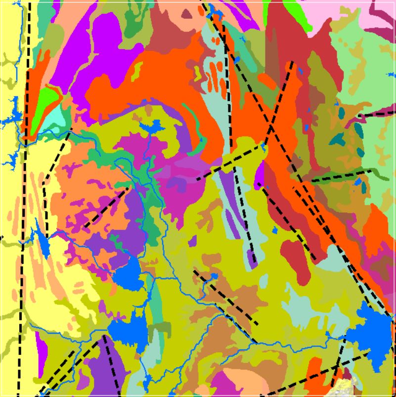
Perfumes
Geomorphology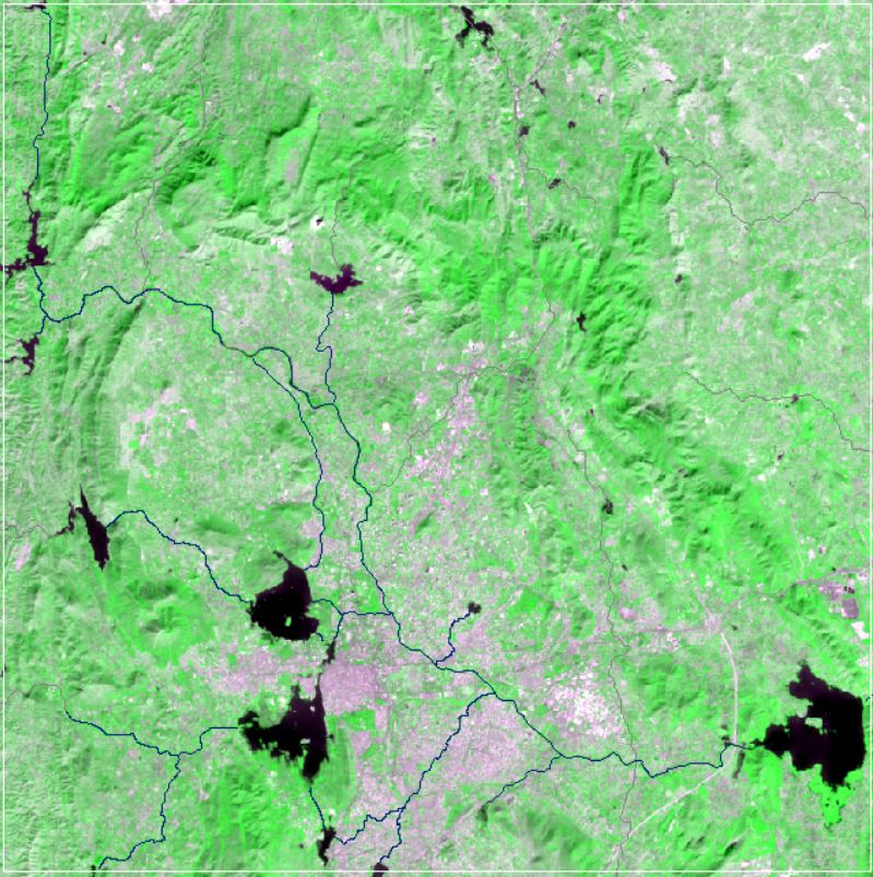
NDVI Vegetation Indices
View more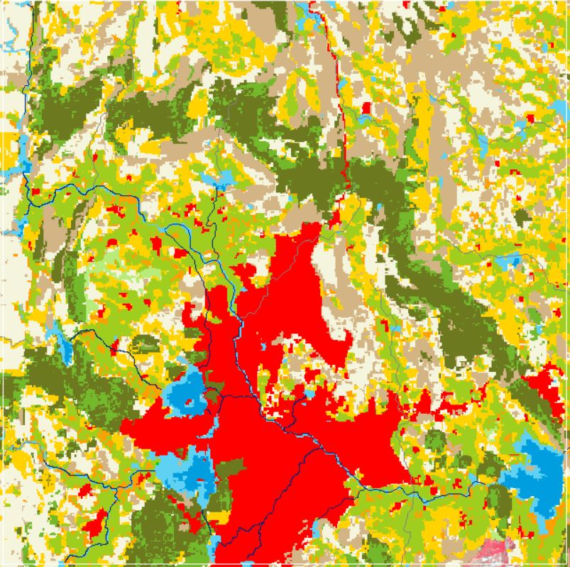
Land Use and Land Cover
View more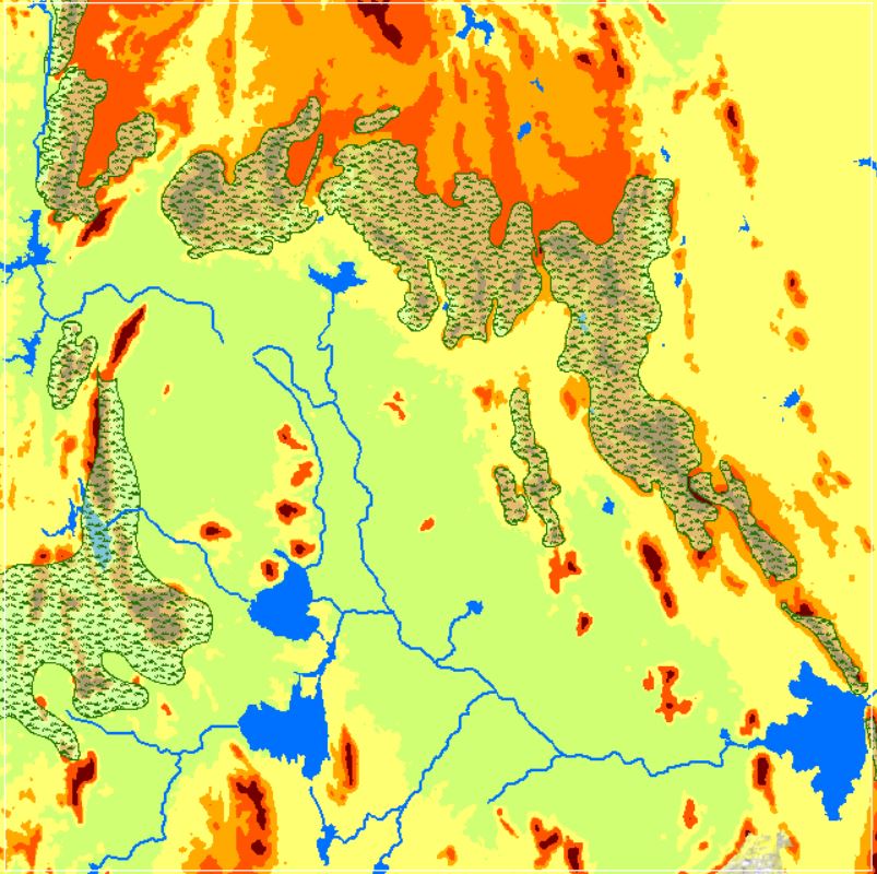
Landforms
View more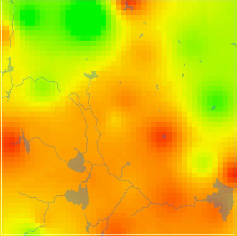
GW DTWL Data
View more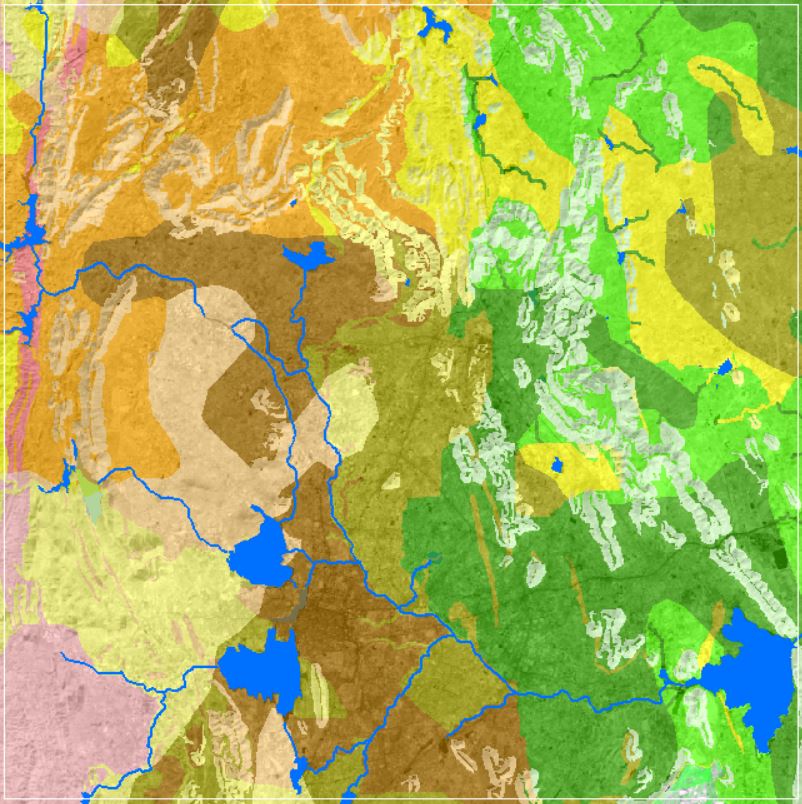
Soil Texture Data
View more